

Pakistan Successfully Launches Advanced Satellite for Disaster Monitoring
 Web Desk
|
4 months ago
Web Desk
|
4 months ago

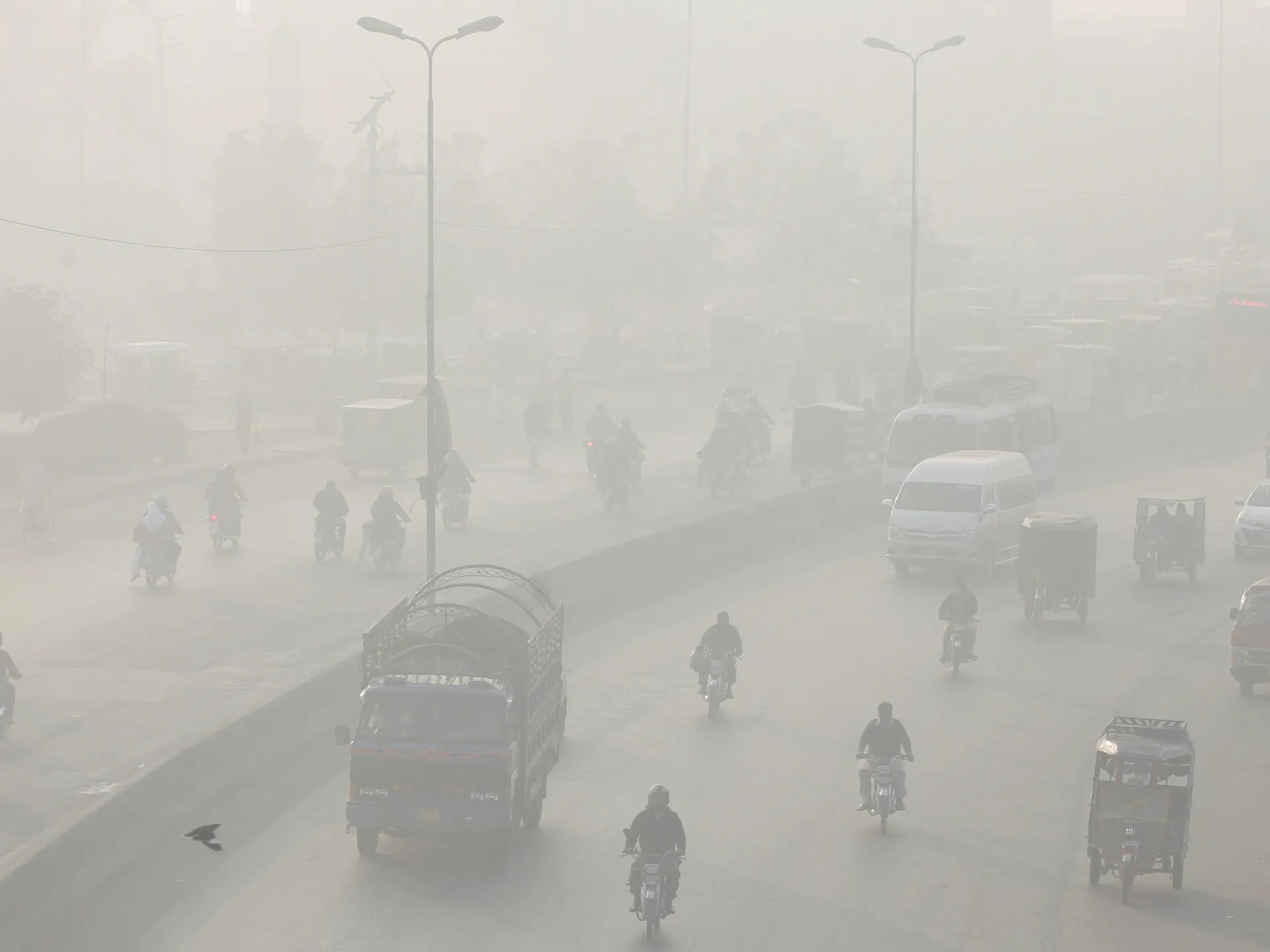
Pakistan has launched a new remote sensing satellite into space with China’s help. The satellite was sent into orbit from China’s Xichang Satellite Launch Center using a Kuaizhou-1A rocket. It will be used to support land surveys, track natural disasters, and help in rescue missions.
This launch marks a big step in Pakistan’s space program. The satellite will detect floods, earthquakes, glacier melting, and landslides. It will also support the China-Pakistan Economic Corridor (CPEC) by identifying areas at risk and monitoring construction and city expansion.
With this launch, Pakistan now has six active satellites in space. The mission was led by SUPARCO, Pakistan’s space agency. Officials said this new satellite will help monitor crops, buildings, and natural changes more effectively than before.
Federal Minister Ahsan Iqbal praised the team of engineers and scientists for their hard work. The chairman of SUPARCO said this mission will help protect lives by offering early warnings for disasters and tracking environmental changes.
The satellite can gather data in different weather and lighting conditions. It also supports Pakistan’s long-term space goals under Vision 2047. This step shows the country’s growing focus on using science and technology for progress and safety.


21 hours ago

22 hours ago

22 hours ago
22 hours ago

22 hours ago

23 hours ago
- BEIJING: China has advised its citizens to avoid traveling to Japan following escalating tensions over Taiwan. The advisory comes after…
 Nine people were killed and 31 injured in an explosion at a police station in Nowgam, occupied Kashmir. The explosion…
 President Donald Trump confirmed plans to resume U.S. nuclear testing after a 33-year hiatus. He told reporters aboard Air Force…
 The UN Security Council will vote on Monday regarding a resolution supporting US President Donald Trump’s Gaza peace plan. Diplomats…


 ISLAMABAD: For the first time in Islamabad’s history, a robotic surgery has been successfully performed at Pakistan Institute of Medical…
 A woman and her two daughters have been arrested for attacking a polio vaccination team in Lahore’s Kot Lakhpat area.…
 Lahore — Punjab Chief Minister Maryam Nawaz Sharif has unveiled a historic initiative to enhance healthcare, safety, and digital empowerment…
- A serious health concern has come to light in Sindh, as officials have reported a rapid increase in HIV cases…


- Mahira Khan has stepped forward to defend actress Saba Qamar…21 hours ago
- BEIJING: China has advised its citizens to avoid traveling to…22 hours ago
- The Ministry of Planning has projected that more than 95,000…22 hours ago
- Karachi’s education authorities have announced a final round of applications…22 hours ago